Wondering what makes the Quirimbas Archipelago special? You’ll find about thirty islands off northeast Mozambique, ringed by coral reefs, mangroves and coastal forest, with part of it protected as a national park.
For the wider regional picture, see the coastal ecosystems of Kenya and Mozambique.
| Item | Value |
|---|---|
| Islands in the archipelago | Approximately thirty |
| Quirimbas National Park established | June 2002 |
| Islands inside the national park | The southernmost 11 |
| Park area | 913,000 hectares |
| Fish species identified in the park | 375 |
| Water temperature in the park | 24 °C to 27 °C |
These figures come from a PADI conservation post from June 2018 and the Wikipedia entry on Quirimbas National Park. Counts, areas and protection status can change, so check the source before you rely on them.
Where the archipelago sits
The chain lies off the northeast coast of Mozambique, and its southern part falls within Cabo Delgado Province. PADI’s June 2018 post describes the archipelago as approximately thirty islands with surrounding coral reefs.
The climate is tropical. The park has a rainy season from December to April and a drier but cooler season from May to September, and water temperatures run from 24 °C to 27 °C.
The region was isolated for decades during the Mozambican Civil War, according to Wikipedia. On land, the national park holds sparse populations of elephants, lions, leopards, crocodiles and wild dog. Wikipedia lists these habitats across the park:
- Mountains, forests and woodland
- Savannah and beaches
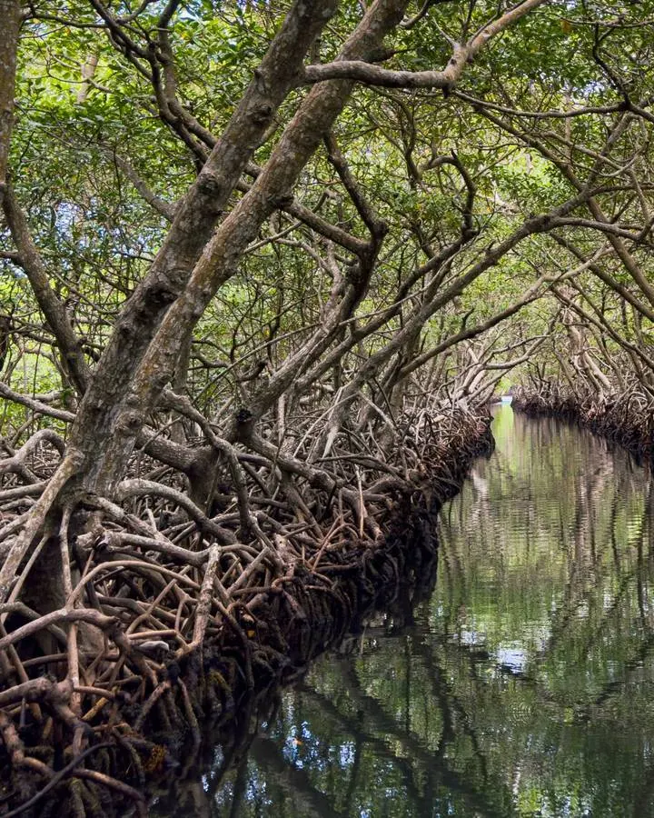
- Mangroves
- Coral reefs and sea grass beds
Reefs and marine life
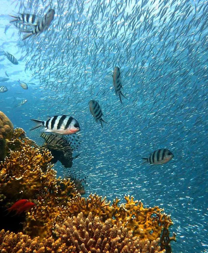
PADI reports visibility of up to 30 m (98 ft) on the reefs. It also states that more than three hundred species of fish are found in the region, on reefs made up of approximately two hundred species of coral.
PADI says these large animals are frequently seen:
- Manta rays, whale sharks and reef sharks
- Marlin and tuna
- Sea turtles, humpback whales and dolphins
- Larger reef fish such as bumphead parrotfish, barracuda, groupers and napoleon wrasse
Seafloor shape and water movement help explain this richness. PADI describes reefscapes, canyons, valleys, plateaus and cliffs on the seabed. It adds that cool and warm currents and upwelling of nutrient-rich deep water produce the conditions for a hot spot of ocean biodiversity.
In 2013 the islands were designated a Hope Spot by Mission Blue, as of PADI’s June 2018 post. PADI defines Hope Spots as unique areas of the ocean critical to maintaining the health of our blue planet, and it calls the marine ecosystems here some of the healthiest in the world because of a history of protection and management.
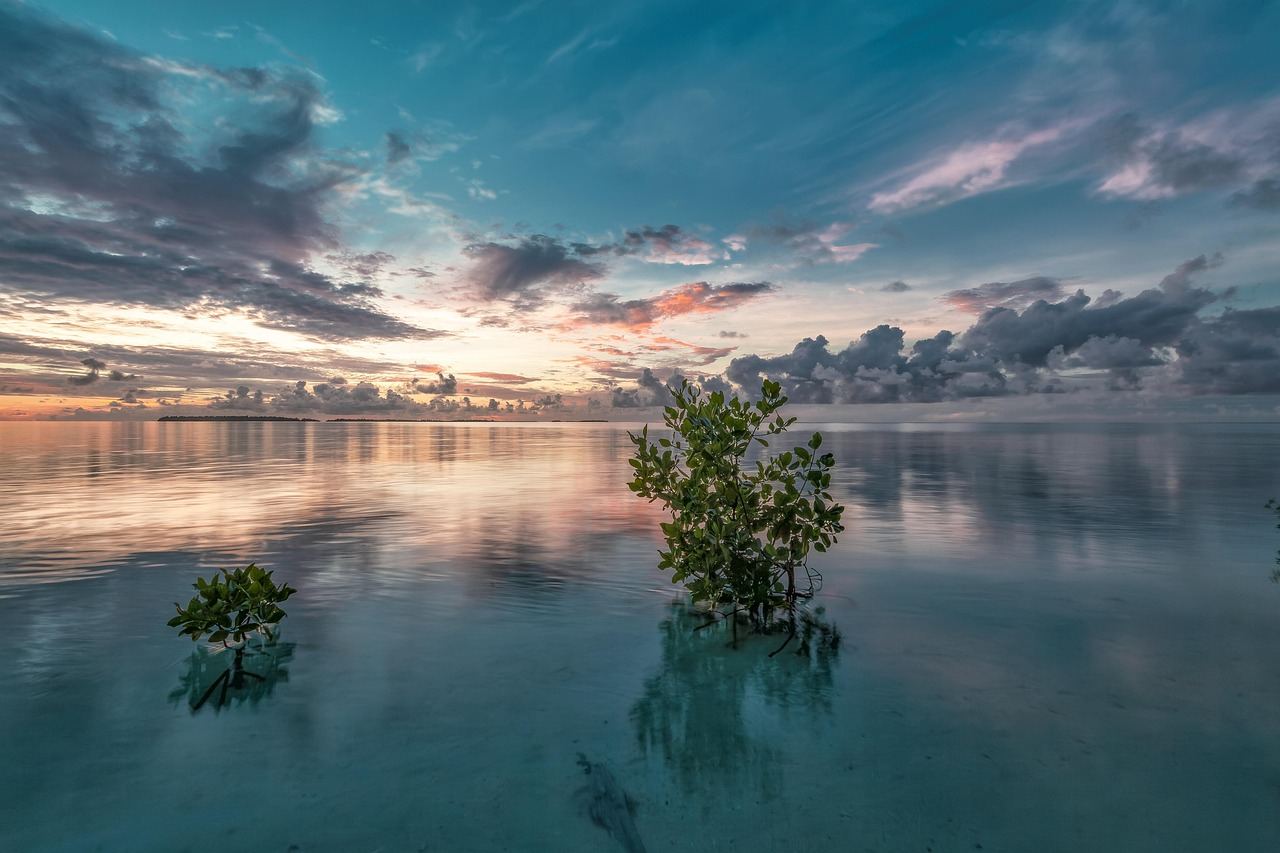
Quirimbas National Park
Wikipedia says the park was established in June 2002. It stretches for 110 kilometres along the northeast coast and contains the southernmost 11 islands of the archipelago.
The park protects 913,000 hectares of coastal forest, mangroves and coral reefs. Wikipedia also records 375 fish species identified there, including threatened pipefish and seahorses.
Published sizes differ. Wikipedia notes that the legal decree creating the park contains a calculation error, which led many records to list the size as 750,000 hectares (7,500 km²). PADI’s post gives nearly 3,000 square miles (7,500 km²), the same older figure.
Who has managed it
According to Wikipedia, the World Wide Fund for Nature (WWF) operated the park under an agreement with the Mozambican government from 2002 to 2010. It continued to provide on-the-ground technical assistance until 2016.
The park’s stated objectives, as Wikipedia summarises them, include:
- Protection, conservation and, where needed, restoration of the land and marine environment
- Conservation of marine species and their habitat
- Promoting eco-friendly ways of making a living among the traditional inhabitants
- A fishery management program
The design aims for local communities, park authorities and tour operators to share management responsibilities and benefits.
What a 2010 review found
A 2010 WWF review, reported by Wikipedia, found three main problems:
- Lack of money in the sanctuaries
- Lack of incentives for rangers
- Lack of follow-up by park management when rangers reported violations
On a more positive note, the same review recorded improvements in species quantity, size and diversity.
Community-managed protection at Vamizi
Vamizi Island is one of the northernmost islands in the archipelago. PADI says the Vamizi Community Sanctuary was established in 2006, primarily through efforts by IUCN.
The sanctuary covers roughly 40 square miles of coral reefs, mangroves, sand flats and open ocean. It extends three miles off the western coast of the island.
PADI calls it one of the most successful examples of a community-managed protected area. It says the sanctuary has generated measurable benefits both for the ocean animals that live there and for the communities whose livelihoods depend on them.
PADI also quotes a coral reef scientist who called the reefs around Vamizi “a mother reef”. In that description the reefs act as a source of replenishment for reefs throughout the Western Indian Ocean through coral and fish population dispersal.
Why do some reefs here resist bleaching?
PADI notes that coral reefs in some parts of the Indian Ocean show bleaching affecting 60-90% of corals. It says that in many parts of the Quirimbas Islands, especially Vamizi, cool currents, nutrient-rich upwelling and local conservation efforts protect reefs from the effects of climate change more than in most other places globally.
The reasoning given is that corals under less stress continue to thrive and support a diverse range of marine life. That is PADI’s account as of June 2018, so look for newer monitoring before treating it as the present state of the reefs.
Linking people, reefs and mangroves
The Quirimbas show how protection and livelihoods can be designed together. Community rangers, shared management and a fishery program all appear in the sources as tools for keeping reefs and mangroves productive for the people who use them.
To compare this coast with other systems, read about the Zambezi Delta ecosystem further along the Mozambican coast. You can also look at the Kenya coral reefs to the north.
Frequently asked questions
How many islands are in the Quirimbas Archipelago?
Show answer
PADI’s June 2018 post says approximately thirty. Wikipedia states that the national park contains the southernmost 11 of them.
When was Quirimbas National Park established?
Show answer
Wikipedia gives June 2002. It adds that WWF operated the park under an agreement with the Mozambican government from 2002 to 2010.
Is the Quirimbas Archipelago a Hope Spot?
Show answer
PADI’s June 2018 post describes the 2013 designation as part of Mission Blue’s network of Hope Spots around the world. Later changes would show on Mission Blue’s own map, so check there for the latest status.
How big is the national park?
Show answer
Wikipedia gives 913,000 hectares. Older records list 750,000 hectares (7,500 km²), which Wikipedia attributes to a calculation error in the founding decree.
What marine life lives in the archipelago?
Show answer
PADI lists manta rays, marlin, whale sharks, sea turtles, tuna, humpback whales, reef sharks and dolphins as frequently seen. Wikipedia records 375 fish species in the park.