Wondering what makes the Bazaruto Archipelago special? This chain of five islands off southern Mozambique shelters coral reefs, seagrass meadows and mangroves, plus the Western Indian Ocean’s last viable dugong population, as a 2015 report put it.
This profile is one part of a wider series on the coastal ecosystems of Kenya and Mozambique.
| Item | Value |
|---|---|
| National park proclaimed | 25 May 1971 |
| Park area | 1,430 km2 |
| Distance off the Mozambican coast | Around 15 km |
| Number of islands | 5 |
| Fish species recorded | Around 2,000 |
| Dugong population (2015 estimate) | No more than 250 individuals |
These figures come from BIOPAMA and the Wikipedia entry on the national park. Counts and estimates can change, so check the source before you rely on them.
Where is the Bazaruto Archipelago and how did it form?
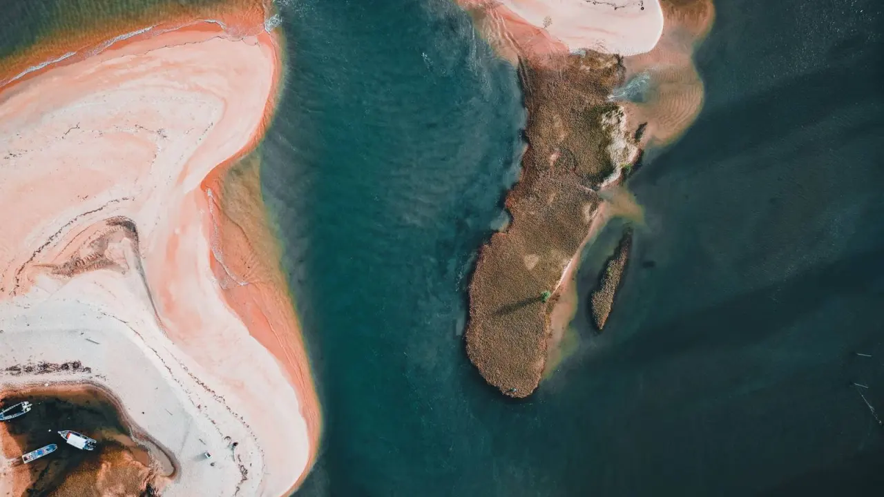
The archipelago lies around 15 km off the coast of Mozambique, opposite the town of Vilanculos in Inhambane Province, according to BIOPAMA’s March 2015 article. It has five islands, and the same article gives their approximate sizes:
- Bazaruto: around 12,000 ha, the largest island
- Benguerra: 2,500 ha
- Magaruque: 208 ha
- Santa Carolina: 59 ha
- Bangue: 5 ha
The three larger islands (Bazaruto, Benguerra and Magaruque) were once part of a sand-spit peninsula attached to the mainland. They separated over millions of years as the continent dipped into the Indian Ocean. Only Santa Carolina is a true rock island.
The national park was proclaimed on 25 May 1971 and covers 1,430 km2, per the Wikipedia entry. It was created to protect dugongs, marine turtles and their habitats.
Habitats from dunes to seagrass
The islands and surrounding waters hold a wide mix of terrestrial and marine habitats. BIOPAMA lists these main types:
- Coastal sand dunes
- Rocky and sandy shores
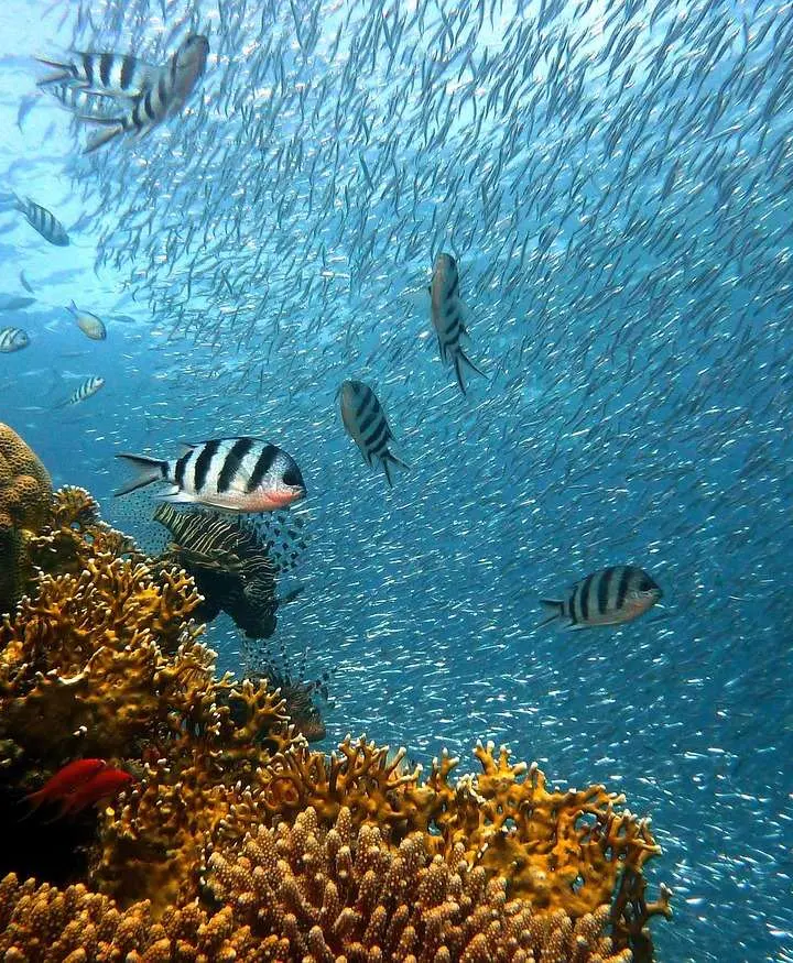
- Coral reefs
- Mangrove forests
- Seagrass meadows
The seagrass is the habitat with the strongest conservation label. BIOPAMA’s 2015 article says the archipelago’s seagrass environment has Globally Outstanding status within the East African Marine Ecoregion.
The coral reefs are described as varied and among the least disturbed in this part of the Indian Ocean. The Wikipedia entry adds that water clarity of 30 metres, together with rich coral life, draws divers and snorkellers.
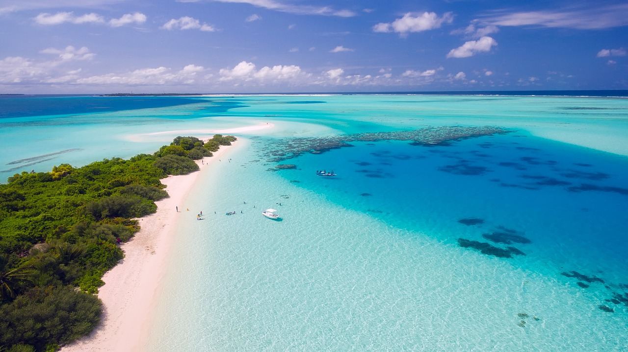
Mangroves are only one strand of this mosaic. For the same habitat on another coast, read about mangroves in Kenya.
Marine life of the archipelago
Both BIOPAMA and the Wikipedia entry describe a rich marine fauna. Highlights include:
- Turtles: five Indian Ocean turtle species breed on the beaches, according to BIOPAMA’s 2015 article.
- Fish: around 2,000 species have been recorded, including surgeonfish, moorish idols, parrotfish, angelfish and butterflyfish.
- Molluscs: Wikipedia cites more than 500 species.
- Large animals: whale sharks, manta rays, dolphins and humpback whales. Whale sharks can be seen between October and April, and humpbacks in the winter months.
- Rays: rhino rays such as guitarfish and wedgefish, which Wikipedia says are among the world’s most threatened marine fishes.
Wikipedia also counts six dolphin species and says the park is the only known place in the western Indian Ocean where all five regional turtle species nest. That claim rests on sources retrieved in February 2024, so treat it as dated.
Birds are counted differently by the two sources: BIOPAMA gives 180 species, while Wikipedia says over 240. The gap is a reminder that species tallies depend on survey method and date.
Dugongs and the seagrass they depend on
The dugong is a seagrass specialist that frequents shallow coastal bays, mangrove channels and the lee of large inshore islands. BIOPAMA notes that its fecundity is highly sensitive to the availability of adequate seagrass forage. Healthy meadows are therefore a direct requirement for breeding.
The Wikipedia entry says dugongs were listed as critically endangered on the IUCN Red List for East Africa in 2022.
Gill nets are described as the most significant threat to dugongs, causing entanglement and drowning. Wikipedia adds that fishing practices and pollution destroy the seagrasses dugongs eat.
People, fishing and pressure on resources
The two sources give different population figures. BIOPAMA’s 2015 article mentions about 4,000 residents in seven communities, with more than 70% directly dependent on fishing and related industries. The Wikipedia entry reports about 6,500 residents in 2024, with 70% of households relying on small-scale fishing.
BIOPAMA links limited alternative income to heavy use of marine, coastal and land resources. It names bycatch, seagrass destruction, anchor damage on reefs and illegal over-fishing among the results. Gill nets are singled out because they are an unselective fishing method.
Small-scale fishing raises similar questions elsewhere on the coast. For a comparison, see Kenya coastal fisheries.
Protection and management
According to the Wikipedia entry, management of the park passed to African Parks in December 2017. It co-manages the area with Mozambique’s National Administration of Conservation Areas.
Earlier, BIOPAMA’s 2015 article described work by the Endangered Wildlife Trust to help the park apply an enhanced law enforcement strategy. The article said this had minimised dugong deaths and reduced illegal fishing. Its wider approach had four parts:
- Keep law enforcement operations strong.
- Develop the park’s leaders.
- Offer alternative income activities to local fishing communities.
- Raise the profile of the dugong as Mozambique’s flagship marine mammal.
BIOPAMA also stresses that knowing where key species and habitats are is crucial for protection. Constant engagement with communities around the park is just as important.
Frequently asked questions
Where is the Bazaruto Archipelago?
Show answer
It lies around 15 km off the coast of Mozambique, opposite Vilanculos in Inhambane Province, according to BIOPAMA.
Which islands make up the archipelago?
Show answer
The five islands are Bazaruto, Benguerra, Magaruque, Santa Carolina and Bangue. Bazaruto is the largest at around 12,000 ha, per BIOPAMA’s 2015 article.
How many dugongs live there?
Show answer
BIOPAMA’s March 2015 article estimated no more than 250 individuals in and around the park. The article calls this the Western Indian Ocean’s single remaining viable population.
What is the biggest threat to the dugongs?
Show answer
BIOPAMA names gill nets as the most significant threat, because they cause entanglement and drowning. Unregulated and illegal fishing is its main concern for protected species across the park.
Who manages the park?
Show answer
The Wikipedia entry says management passed to African Parks in December 2017, in co-management with Mozambique’s National Administration of Conservation Areas.